


Flight around GA Mountains


Here are some photos from a flight around the Georgia Mountains. The flight started at Jackson County Airport
(19A) then Blairsville(DZJ) , Campbell(1A3), over Blue Ridge, Gilmor County (49A) near Ellijay and back to
Jackson. The Flight was made in 2012 since then ipads and Foreflight or similar have made planning and the
flight navigation much easier
Total distance was around 170 miles completed in 2 and 1/2 hours flying time.
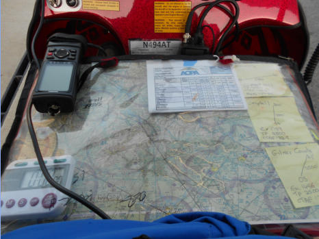
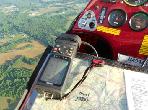
Knee board set up ready to go
•
90’s vintage Garmin GPS which only gives
bearing, distance, ground speed which is fine
when used with a sectional
•
Sectional (aeronautical map) with course
marked. I mark the course in ten minute
intervals (12 miles at 70 mph)
•
Flight plan - I use AOPA Flight Planner which is
free with AOPA membership
•
Timer to check progress against marked course
•
Post its with airport details, runway details radio
frequencies etc
•
Since this flight my Garmin could not pick up
the satellites and has been retired - I’m
presently using a Mini Ipad with the Garmin
Pilot software which works very well
Left - Ready for take off on Jackson County
runway 35
Make the radio call
“Jackson County Traffic, Light Sport Trike 494AT
departing 35, then outbound to west” Jackson
County Traffic
Below Left - Climbing from runway 35, 1000ft
per minute at 70mph
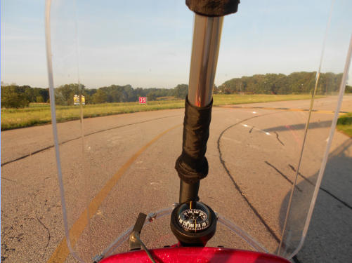
Below Right - setting course for the mountains,
course magnetic heading 337 degrees - the
compass is on top of the instrument panel
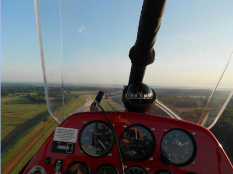
Left - GPS looks on course
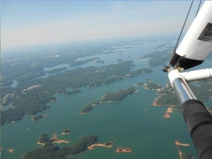
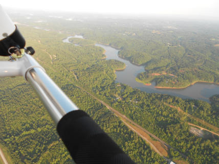
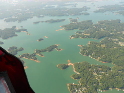
Below Left - Crossing the north end of Lake
Lanier
Below Right - Mountains coming into view.
Bottom right on the instrument panel - the red
indicator is the trim position - an electric trim
control can trim the trike for hands off flight
between 55 and 85 mph. The round
instrument is the fuel gauge - tank holds fuel
for about 4 hours flying
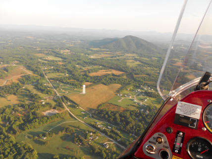
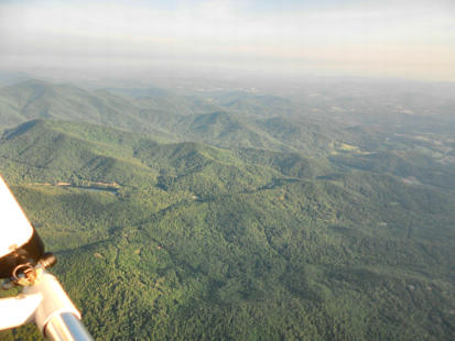
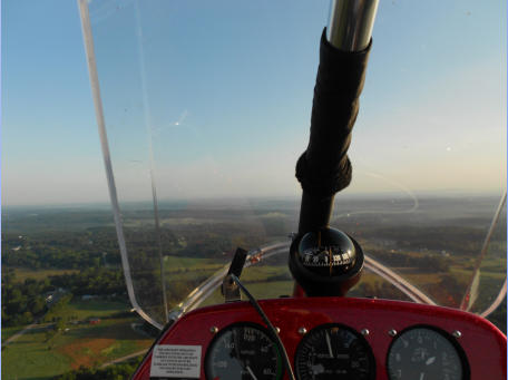
Left - Over the mountains after about 45 minutes flying
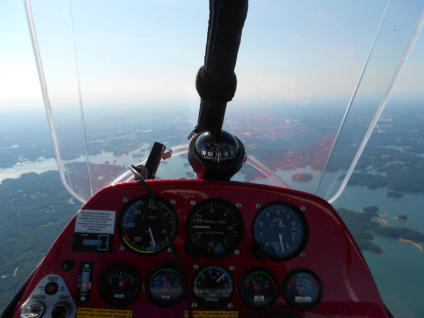
Left - on the way back. Top instruments left to right are
:
•
Air Speed Indicator (ASI) - showing near 80 mph
•
Vertical Speed Indicator (VSI) - showing level flight
•
Altimeter showing just under 4500ft.
•
The bottom row left to right are trim position, fuel
gauge and the engine instruments
Below Left - Lake Lanier
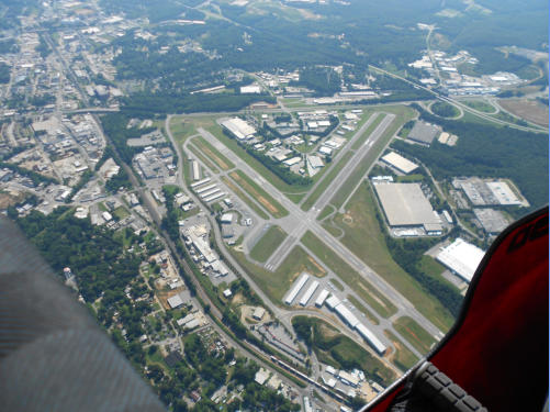
Bottom - Gainsville airport only about 20 miles back
to Jackson County